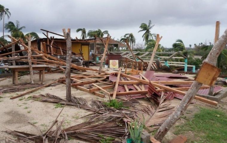
| South America's cold snap eases and Agatha moves towards Florida - The Guardian Analysis: first Pacific hurricane of season was made stronger by unusually warm sea surface temperatures. A damaged beach restaurant in Zipolite, ... |
South America’s cold snap eases and Agatha moves towards Florida
Analysis: first Pacific hurricane of season was made stronger by unusually warm sea surface temperatures
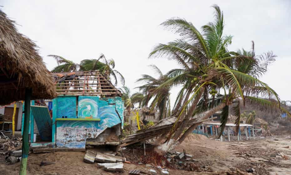
Exceptionally cold conditions persisted across South America earlier this week. The conditions were alarming at the northern extent with unseasonably low temperature anomalies recorded as far north as the Tropics.
The intensity of the cold brought rare May frosts to low levels across parts of Uruguay and Chile. On 31 May in Santiago, Chile, temperatures fell to -2.1C, the lowest May temperature recorded since 1969, and while this is exceptionally cold for the time of year, many periphery areas outside the main metropolitan city would have been several degrees colder. The cold wave was present across South America for almost a week but is gradually coming to an end through this weekend with warmer conditions returning. However, this event has marked the first shot of polar air for the start of the southern hemisphere winter season.
By contrast, France had its hottest May on record, with an average May temperature of 17.76C, an increase of almost 0.8C from the previous record of 16.96C in 2011. This May record is largely due to the intense heatwave experienced through the middle of the month, when temperatures widely exceeded 30C.
Hurricane Agatha, the first Pacific hurricane of the season, made landfall on Monday 30 May just west of Puerto Angel, as a category 2 hurricane bringing recorded winds of 105mph, the strongest hurricane to make landfall in May since records began in 1949. The severity was largely due to warmer than normal seas surface temperatures (SSTs) in the Pacific Ocean, which acted to fuel and intensify the development of the hurricane. Typically, SSTs tend to be cooler in May than during peak hurricane season, therefore normally limiting hurricane development during May. Having gained momentum, a trough of low pressure to the north dipped southwards, which then drew Hurricane Agatha towards the coast of Mexico.
Once the hurricane made landfall it weakened into a remnant low as it tried to cross the mountainous terrain of southern Mexico. The intense rain associated with the low triggered landslides and flash flooding, affecting mountainous regions the most. The remnants of Agatha will become more organised and strengthen as it pushes north-eastwards towards Florida this weekend, likely bringing intense and persistent rain alongside a significant risk of flooding.


